A voxel layer represents multidimensional spatial and temporal
information in a 3D volumetric visualization.
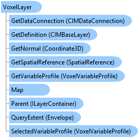
Object Model
Syntax
public sealed class VoxelLayer : Layer, ArcGIS.Desktop.Core.IMetadataInfo, IMetadataSource, System.ComponentModel.INotifyPropertyChanged
Public NotInheritable Class VoxelLayer
   Inherits Layer
   Implements ArcGIS.Desktop.Core.IMetadataInfo, IMetadataSource, System.ComponentModel.INotifyPropertyChanged
Remarks
Use voxel layers to visualize atmospheric or oceanic data, a geological underground model, or space-time cubes.
Voxel layers are sourced from volumetric data stored using NetCDF.
Voxel layers are supported in Local Scenes only. Refer to MapView.ViewingMode. Use of Voxel layers requires an Advanced licensing level
Voxel layers are sourced from volumetric data stored using NetCDF.
Voxel layers are supported in Local Scenes only. Refer to MapView.ViewingMode. Use of Voxel layers requires an Advanced licensing level
Inheritance Hierarchy
System.Object
ArcGIS.Desktop.Framework.Contracts.PropertyChangedBase
ArcGIS.Desktop.Mapping.MapMember
ArcGIS.Desktop.Mapping.Layer
ArcGIS.Desktop.Mapping.VoxelLayer
Requirements
Target Platforms: Windows 10, Windows 8.1
See Also