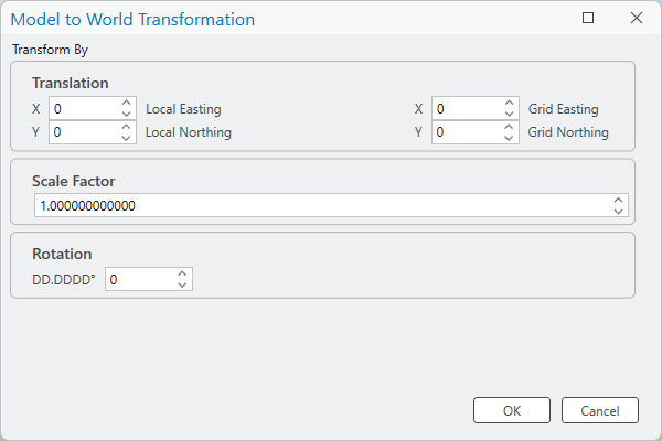
The Model to World Transformation dialog box allows you to enter coordinate offsets and optional scale and rotation values to modify and locate the geographic position of a CAD or BIM dataset within the currently defined coordinate system.

This dialog box allows you to key-in a known base point with its local position in the source file and its known position within the selected coordinate system. You can then specify a rotation and scale factor to define the coordinate transformation.
- If you click the OK button, the dialog box will close and the values in the dialog box will be used to create or overwrite an existing ArcGIS world file (WLD) for the data with the calculated values.
- If you repeat the process, the values of the dialog box will be set back to the neutral values.
- If you click the Cancel button, the dialog box will close and any existing WLD file will remain unmodified.
You can access this dialog box from the Model To World option on the Geolocation tab of the CAD or BIM file properties dialog box, or from the Transform button in the Alignment section of the CAD Data or BIM Data context ribbon tabs of the main ribbon.