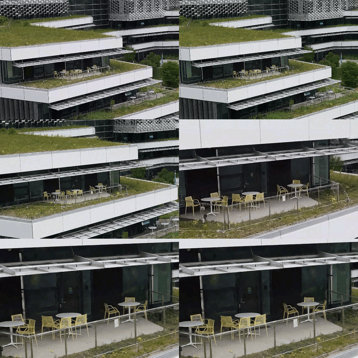
A Gaussian splat layer provides highly realistic visualizations of complex geometry that cannot be achieved with traditional photogrammetric approaches. For example, you can represent thin and complex structures such as powerlines, guard rails, and antennas in a variety of infrastructure workflows. Transparency or reflection in human-made structures can also be captured, for example, in building windows or metal surface reflection.
A Gaussian splat layer is a 3D layer in the 3D layer category of a local or global scene. You can add a Gaussian splat layer to a scene and combine it with other layers. You can visualize and explore other layers such as feature, imagery, and other 3D layers with the Gaussian splat layer.

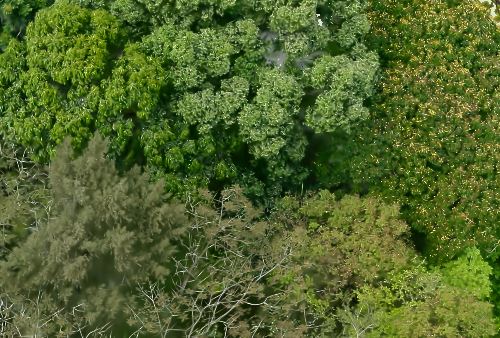
Besides human-made structures, natural objects such as vegetation can be visualized with high fidelity. This includes tree leaves, enabling classification of tree species or other types of vegetation. Additional visual effects such as fog, smoke, or water reflection can also be visualized, allowing you to capture the most natural appearance possible.

Gaussian splat visualization
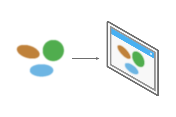
3D Gaussian splatting is a technique used in real-time radiance field rendering. It uses a neural field for reconstructing a three-dimensional representation of a scene from two-dimensional images. This volume rendering technique is based on millions of fuzzy ellipsoids and created using an adaptive process. Each Gaussian splat is defined by its position, rotation, size, color, and transparency. When rendered together, these Gaussian splats blend to form a smooth photorealistic representation in 3D.

Depending on the viewer's perspective or viewing direction, Gaussian splats adapt dynamically in terms of their color and intensity. This allows you to realistically depict reflective materials when navigating around them. If there is not enough oblique imagery for the areas available during processing, the Gaussian splats will be missing or only a view ellipse will be present.
General information and display options for a Gaussian splat layer can be found on the Layer Properties dialog box. To access the properties, right-click the Gaussian splat layer in the Contents pane and click Properties.
Note:
3D exploratory analysis tools such as Viewshed are not supported. Individual Gaussian splats cannot be selected.
Gaussian splat layer data source
You can create a Gaussian splat layer by choosing a 3D tiles dataset in a supported format as JSON or 3TZ on the Add Data dialog box or use the Add Data From Path dialog box to work with 3D tiles services hosted in ArcGIS Online. Gaussian splat layers require the 3D tiles dataset to include the ESRI_crs and 3DTILES_content_gltf extensions according to the 3D tiles specification.
ESRI_crs extension
The correct definition of a coordinate system is essential to work with data in GIS. The ESRI_crs extension allows you to work in any well-defined coordinate system (WKID) for the horizontal and vertical coordinate system. For example, you can view the Gaussian splat layer in ArcGIS Pro or other ArcGIS applications in the projected coordinate system you require for your project. You can view the same data in WGS 1984 if you also want to provide the Gaussian splat layer to other third-party applications. With this extension, you are no longer required to provide the data in WGS 1984 with an ellipsoidal vertical coordinate system. You can define your own coordinate system and use the data in a scene defined as WGS 1984 without the need to duplicate the data.
3DTILES_content_gltf
To correctly render the Gaussian splats, you must include the correct Gaussian splatting and compression.
Share a Gaussian splat layer
The Gaussian splat layer can be published as a service layer. Use the Package 3D Tiles tool to create a .3tz file and upload it to ArcGIS Online with the Share Package tool. You can also share a Gaussian splat layer as a web layer or in a web scene.
Note:
Gaussian splat layers are not currently supported in ArcGIS Enterprise or the Scene Viewer in ArcGIS Online.
Add a Gaussian splat layer from a file
Complete the following steps to add a Gaussian splat layer from a .json or .3tz file:
- On the Map tab, in the Layer group, click Add Data
 .
.
- On the Add Data dialog box, browse to the tileset in JSON or 3TZ format
 and click OK.
Tilesets in JSON format are recognized only if they have the file name tileset.json.
A Gaussian splat layer is added to the scene.