 Available with an ArcGIS Topographic Mapping license.
With the ArcGIS Topographic Mapping extension, you can load data into a geodatabase using a template that corresponds to the data model or map product specification you are using. This template is a cross-reference geodatabase and contains mapping information between the data being loaded from the source workspace and the target database. This includes information about the source features and, if applicable, the appropriate subtype. It also contains tables that define field mapping and value substitution.
Using the Load Data tool, you can load data from a geodatabase, coverages, or set of shapefiles into another geodatabase that may or may not have the same schema. This can be done to append data to existing databases or load it into an empty schema. At a minimum, the target database must contain the schema referenced in the cross-reference geodatabase.
- Open an ArcGIS Pro project that contains data to load into a geodatabase.
- On the Analysis tab, in the Geoprocessing group, click Tools.
The Geoprocessing pane appears.
- If necessary, click the Toolboxes tab.
- Click Topographic Production Tools > Data Management > Geodatabase > Load Data.
The Load Data tool appears in the Geoprocessing pane.
- In the Input Cross-reference Database parameter, click Browse
 and browse to the cross-reference geodatabase that corresponds to the data model or map product specification you are using.
The default location for the cross-reference geodatabases that are included with the ArcGIS Topographic Mapping product files is C:\Users\Public\Documents\ArcGIS Topographic Mapping\Product Files\<schema>\DataConversion.
Note:
Optionally, use the mapping file included with the Topographic Mapping product files to define how items are mapped, and run the Create Cross-Reference Geodatabase tool with it to create a cross-reference geodatabase. This is useful if the schema of the source workspace and the target database don't match. When using the mapping file, verify that the datasets and fields listed in the mapping file template match the feature classes and fields, respectively, in the source workspace and target database.
- In the Input Sources parameter, click Browse
 and browse to the geodatabase that contains the source data.
You can load multiple geodatabases.
- In the Input Target Workspace parameter, click Browse
 and browse to the workspace where the source features will be loaded.
This workspace must contain the schema referenced in the cross-reference database.
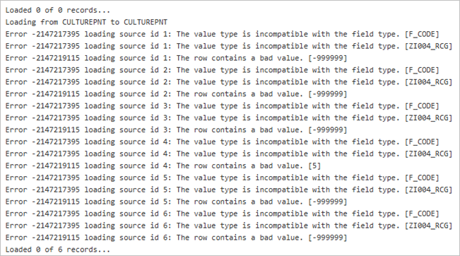
- Optionally, check the Log row level errors check box to log errors that occur while the tool inserts new rows into the feature classes and tables of the workspace specified for the Input Target Workspace parameter.

- Optionally, click Advanced and choose a subset of the dataset mappings from the cross-reference geodatabase specified in the Input Cross-reference Database parameter. All of the dataset mappings will be applied otherwise.
- Click Run.
The data from the source workspace is loaded into the target workspace according to the mapping defined in the cross-reference geodatabase.