There are five types of grids that can be added to a map frame: graticules, measured grids, MGRS grids, reference grids, and custom grids. Grids are used to show coordinates or divide the map frame. They can be added to any map frame.
Graticules
Graticules are lines showing parallels of latitude and meridians of longitude for the earth. They are used to show location in geographic coordinates (degrees of latitude and longitude).
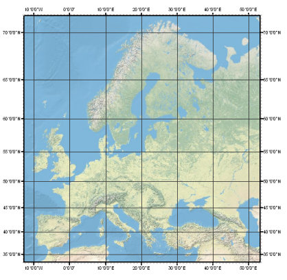
Learn more about how to use graticules.
Measured grids
Measured grids are networks of evenly spaced horizontal and vertical lines used to identify locations on a map. They are used to show location using projected coordinates.
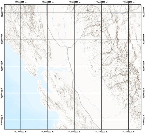
Learn more about how to use measured grids.
MGRS grids
Military Grid Reference System (MGRS) grids are a special type of measured grid. It is used to show locations in a UTM coordinate system and display MGRS-specific information, such as 100,000-meter grid designators.
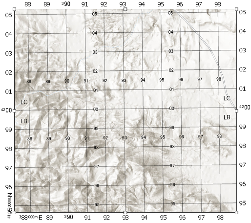
Learn more about how to use MGRS grids.
Reference grids
Reference grids are networks of columns and rows used to divide a map into equal-area rectangles. They are used to visually divide the map, independent of the coordinate system, to allow simple location referencing.
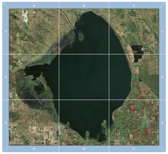
Learn more about how to use reference grids.
Custom grids
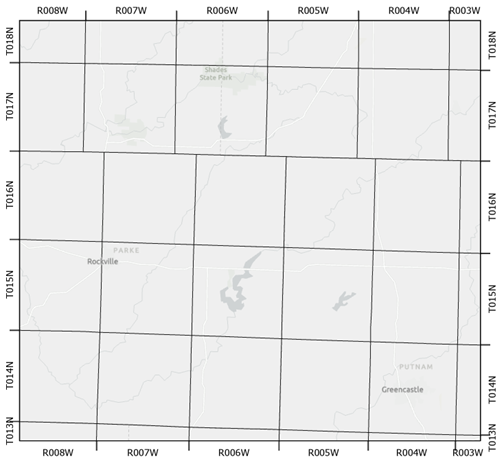
Custom grids are based on a polygon or line feature layer in a map. The polygon or line feature acts as the grid lines, and the custom grid allows you to label those lines outside the map frame. The labels are created from the features that intersect the map frame edge. One example of a custom grid is a township and range grid, shown below.
Learn more about how to use custom grids.