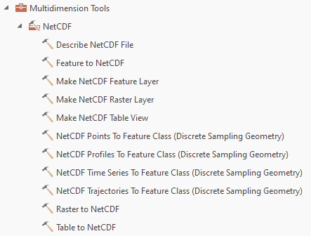
You can use the Raster to NetCDF, Feature to NetCDF, and Table to NetCDF tools from the NetCDF toolset in the Multidimension Tools toolbox to export a raster, a feature class, and a table, respectively, to a netCDF file.

You can use the Raster to NetCDF, Feature to NetCDF, and Table to NetCDF tools from the NetCDF toolset in the Multidimension Tools toolbox to export a raster, a feature class, and a table, respectively, to a netCDF file.
