GraphicsLayer Class
In This Topic
Graphics layers are layers that act as containers for graphics elements
that can be added to a map.
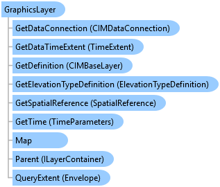
Object Model
Syntax
public sealed class GraphicsLayer : Layer, ArcGIS.Desktop.Core.IMetadataInfo, IElementContainer, IMetadataSource, System.ComponentModel.INotifyPropertyChanged
Public NotInheritable Class GraphicsLayer
   Inherits Layer
   Implements ArcGIS.Desktop.Core.IMetadataInfo, IElementContainer, IMetadataSource, System.ComponentModel.INotifyPropertyChanged
Example
Accessing GraphicsLayer
//get the first graphics layer in the map's collection of graphics layers
var graphicsLayer = map.GetLayersAsFlattenedList().OfType<ArcGIS.Desktop.Mapping.GraphicsLayer>().FirstOrDefault();
if (graphicsLayer != null)
{
  //TODO...use the graphics layer
}
Remove Graphic elements
//on the QueuedTask
graphicsLayer.RemoveElements(graphicsLayer.GetSelectedElements());
Inheritance Hierarchy
System.Object
ArcGIS.Desktop.Framework.Contracts.PropertyChangedBase
ArcGIS.Desktop.Mapping.MapMember
ArcGIS.Desktop.Mapping.Layer
ArcGIS.Desktop.Mapping.GraphicsLayer
Requirements
Target Platforms: Windows 11, Windows 10
ArcGIS Pro version: 3 or higher.
See Also